Death Valley, California

An original watercolor print from The Painted Passport archive — designed to bring the light, color, and atmosphere of your favorite destinations into your home.
Original Series / Visual Study
Regional Dossier

Death Valley, California | 'Where the Earth Holds Its Breath'

Death Valley is not empty. It is ferociously full, of silence so thick it has texture, of geological time laid bare in stripes of ochre and violet, of a sky so enormous it recalibrates your sense of scale. This is the hottest, driest, and lowest national park in the United States, a place where Timbisha Shoshone people have lived for over a thousand years, reading the land with a fluency that humbles every newcomer. The salt flats at Badwater Basin shimmer like a broken mirror dropped at the bottom of the world, and the hillsides along Artist's Drive blush with mineral pigments that no painter could invent without first seeing them here. Death Valley does not welcome you so much as it absorbs you, slowly, luminously, on its own ancient terms.

The palette here belongs entirely to geology and light. Burnt sienna and raw umber dominate the canyon walls, deepening at dusk into a molten copper that seems to radiate heat long after the sun drops behind the Panamint Range. Soft chalky creams and bleached bone whites stretch across the valley floor, while unexpected veins of dusty rose, sage green, and oxidised iron purple surface along the volcanic hillsides, making every hour of light feel like a completely different painting.

Add to the collection for /

$18.00

Finding the Stillness

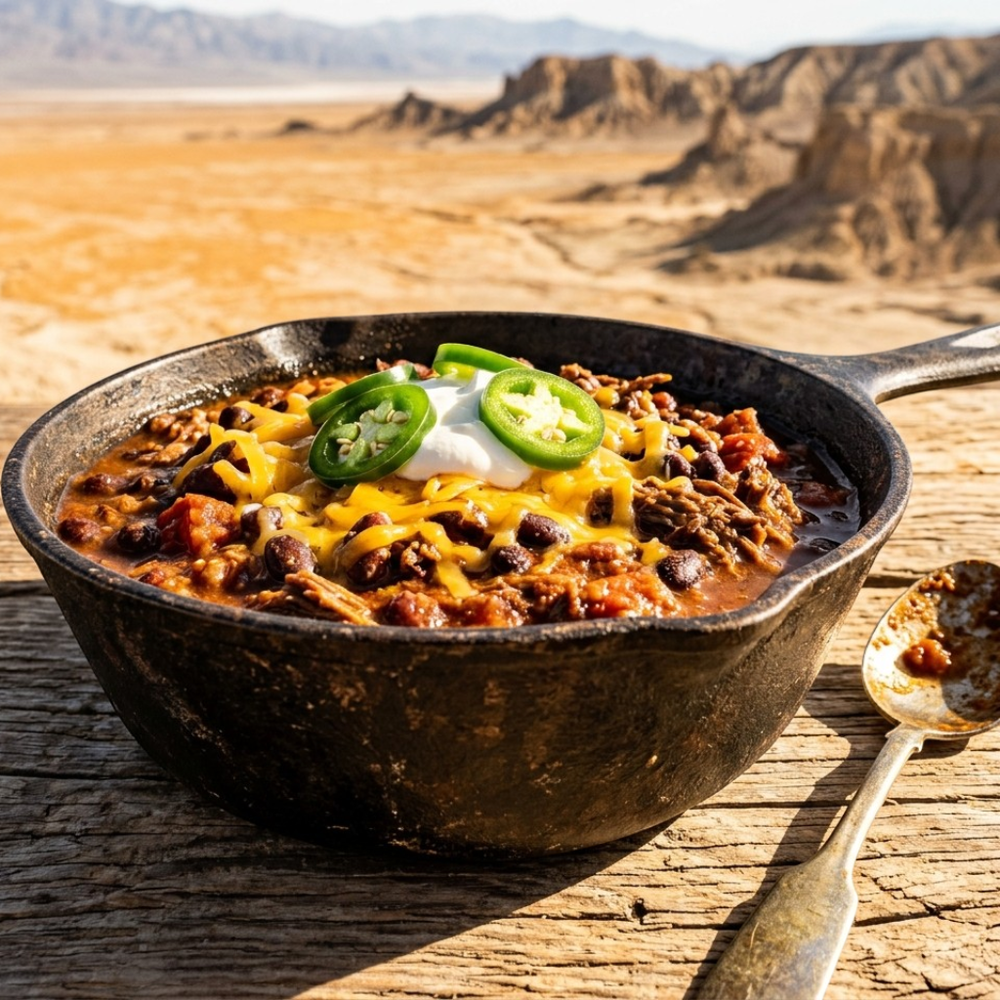
It's hard to put the "vibe" of a place into words, so we put together a few images that we think show the quiet side of Death Valley, California. These are the textures and small moments we've archived to capture the stillness of this corner of the world.

Death Valley, California visual study 01
Death Valley, California / No. 01 via salvatore ventura
From Dante's View, the salt flats of Badwater Basin stretch below like a pale mirror catching the midday sun, surrounded by rust and ochre earth. The Panamint Range rises sharply across the valley, its ridgeline crisp against a sky so blue it almost feels artificial. There is a stillness to this vantage point that makes the sheer scale of the valley feel both humbling and quietly magnificent.
Death Valley, California visual study 02
Death Valley, California / No. 02 via Phil Evenden
The raking desert light carves the dunes into dramatic curves of white and shadow, transforming the landscape into something almost sculptural and otherworldly. Standing here, one would feel the immensity of geological time — the wind-scoured silence broken only by the soft hiss of shifting sand. The mountains looming in the background deepen the sense of isolation, as if the viewer has stumbled upon a place that exists beyond the reach of the everyday world.
Death Valley, California visual study 03
Death Valley, California / No. 03 via Johannes Plenio
The photographer has captured a hypnotic vanishing point along a sun-baked Death Valley road, where the double yellow centerline pulls the eye toward a distant mountain range. What most viewers overlook is the subtle pale green of sparse desert scrub lining both shoulders — a quiet insistence of life against the bleached, rocky soil. The road's asphalt carries a warm grey-brown cast, absorbing the harsh Mojave light in a way that makes the surface appear almost soft.

Where to wander

Archival Note: A curated field study of Death Valley, California, prioritizing cultural relevance and archival merit. While we haven't touched down here yet, we've meticulously vetted these locations through our global network of contributors to ensure they represent the most authentic atmosphere for your own expedition.

Local Cuisine Spotlight
Smoky Death Valley chili simmers deep with black beans and braised meat in a seasoned cast iron skillet. Melted cheddar, cool sour cream, and fresh jalapeño slices finish each bowl with bold contrast. It is honest, fiery comfort food built for the open desert.
Credits: The Painted Passport
Local cuisine study in Death Valley, California

☕︎ Local Flavor

Inn Dining Room at The Inn at Death Valley

Rating: 5* | Price: $$$$ | Coordinates: 36.4597° N, 116.8669° W

Dining here is a full theatrical experience, with candlelit tables overlooking the illuminated pool and the vast dark desert beyond the terrace. The menu leans into refined California cuisine, featuring seasonal ingredients that somehow feel luxurious given the surrounding wilderness. The date shake made with Furnace Creek dates is a sweet, creamy signature you absolutely must order.

View Entry Details

19th Hole Bar & Grill

Rating: 4* | Price: $$ | Coordinates: 36.4630° N, 116.8680° W

Sitting beside the world's lowest-elevation golf course, this casual outdoor grill serves honest, hearty food that hits perfectly after a morning of exploring the flats. Burgers are juicy and satisfying, and the shaded patio provides welcome relief from the relentless afternoon sun. It carries a delightfully quirky charm that perfectly matches Death Valley's own wonderfully strange personality.

View Entry Details

Toll Road Restaurant at Stovepipe Wells

Rating: 3* | Price: $$ | Coordinates: 36.6019° N, 117.1461° W

A reliable, unpretentious diner where rangers, road-trippers, and adventurers all share tables and trail stories over generous plates of classic American comfort food. Breakfast here before a dawn hike to the sand dunes is a ritual that many repeat visitors swear by every trip. The coffee is strong, the portions are filling, and the staff greet everyone like they've been expected all along.

View Entry Details

Panamint Springs Restaurant

Rating: 4* | Price: $$ | Coordinates: 36.3419° N, 117.4678° W

With a porch overlooking the sweeping Panamint Valley, this unpretentious gem serves surprisingly good food including pizzas, burgers, and cold craft beers that taste extraordinary after desert miles. The sunset views from the outdoor tables are among the most dramatic in the entire park system. It has the rare quality of feeling both genuinely local and warmly welcoming to every passing stranger.

View Entry Details

🛌︎ Boutique Stays

The Inn at Death Valley

Rating: 5* | Price: $$$$ | Coordinates: 36.4597° N, 116.8669° W

A historic oasis nestled against the Panamint Mountains, this landmark resort has welcomed guests since 1927 with its Spanish mission architecture and spring-fed pool. Rooms are elegantly appointed with desert-inspired décor and sweeping views of the salt flats below. Falling asleep here feels like stepping into a golden-age travel fantasy you never want to leave.

View Entry Details

The Ranch at Death Valley

Rating: 4* | Price: $$$ | Coordinates: 36.4630° N, 116.8697° W

A casual, family-friendly retreat sitting right at the valley floor, offering comfortable rooms just steps from a surprisingly lush spring-fed swimming pool. The laid-back atmosphere makes it a perfect base camp for adventurous day trips to Badwater Basin and Artist's Drive. Evenings on the porch here, watching stars multiply overhead, are genuinely unforgettable.

View Entry Details

Stovepipe Wells Village Hotel

Rating: 3* | Price: $$ | Coordinates: 36.6019° N, 117.1461° W

Perched at the edge of the massive Mesquite Flat Sand Dunes, this modest roadside hotel captures the raw, frontier spirit of Death Valley perfectly. Rooms are simple but clean, and the central location makes sunrise dune walks an effortless morning ritual. There's a saloon onsite where dusty hikers swap stories over cold drinks as the desert cools around them.

View Entry Details

Panamint Springs Resort

Rating: 3* | Price: $$ | Coordinates: 36.3419° N, 117.4678° W

A wonderfully remote outpost on the western edge of the park, this charming resort feels like a genuine desert discovery tucked into the Panamint Valley. Cabins and motel rooms sit beneath a canopy of cottonwood trees, offering rare shade and a sense of welcome solitude. The on-site restaurant and bar become a warm community hub after long days exploring the surrounding canyons.

View Entry Details

📍︎ Field Study

Badwater Basin

Rating: 5* | Price: Free | Coordinates: 36.2308° N, 116.7675° W

Standing at 282 feet below sea level on the vast white salt flats, this is the lowest point in North America and one of the most otherworldly landscapes on Earth. The crystallized salt polygons stretch endlessly in every direction, crunching softly beneath your feet as you walk further into the silence. Early morning and golden hour light turn the salt into something that glows like polished bone against violet mountains.

View Entry Details

Mesquite Flat Sand Dunes

Rating: 5* | Price: Free | Coordinates: 36.6247° N, 117.1072° W

These accessible, photogenic dunes rise dramatically from the valley floor, their wind-sculpted ridges shifting into perfect curves that beg to be climbed before sunrise. The experience of reaching a crest and seeing the corrugated mountain ranges lit in pink and amber around you is one that stays with you for years. At dawn, the only sounds are wind and the soft padding of your own footsteps in cool, undisturbed sand.

View Entry Details

Artist's Drive & Artist's Palette

Rating: 5* | Price: Free | Coordinates: 36.3803° N, 116.8069° W

This nine-mile one-way scenic loop winds through badlands painted in extraordinary streaks of pink, green, purple, and gold created by volcanic deposits and mineral oxidation. Stepping out at Artist's Palette in the late afternoon light, you'll struggle to convince yourself the colors are entirely natural. The drive itself feels like moving slowly through a living canvas, with each curve revealing a new and more astonishing composition.

View Entry Details

Zabriskie Point

Rating: 5* | Price: Free | Coordinates: 36.4202° N, 116.8119° W

Perhaps Death Valley's most iconic viewpoint, this overlook gazes out over a labyrinth of eroded golden badlands that look as though they belong on another planet entirely. Sunrise here is extraordinary — the ridges ignite in amber and cinnamon while the valley below remains cool and shadowed. The short uphill walk to the platform is effortless, making it one of the most rewarding easy hikes in the entire American Southwest.

View Entry Details

Typography

Archival Note: A formal technical study of Death Valley, California—archiving the coordinates, elevation, and environmental data that define the region. This data serves as a vital record for our ongoing global field study, allowing us to reconstruct the regional atmosphere with archival precision before our physical arrival.

Botanical and pigment specimen study for Death Valley, California Colors of Death Valley, California
Coordinates
36.5054° N, 116.8926° W — Furnace Creek, Death Valley National Park, California, USA
Historical Epoch
Indigenous Timbisha Shoshone habitation spans over 1,000 years. The 1849 gold rush brought the first European-American explorers, followed by the borax mining boom of the 1880s that shaped the valley's identity for a century.
Elevation
-86 to 3,368 m / -282 to 11,049 ft - Badwater Basin is the lowest point in North America at 86 m below sea level; Telescope Peak rises to 3,368 m at the park's high point
Atmosphere
BWh - Hot Desert Climate. Summers are dangerously extreme, regularly exceeding 48C, while winters bring mild days and occasionally cold nights with rare wildflower blooms in spring.
Observation Hour
06:15 - Golden hour arrives gently just after sunrise, painting the canyon walls in amber and rose before the heat flattens contrast. By midmorning the light turns harsh and bleaching.
Primary Pigment
Burnt Sienna (#8C4A2F) and Pale Sand (#E8D5A3)
Best Time to Visit
November through March - Mild days, cool nights, and the possibility of rare wildflower blooms make this the only truly comfortable window for valley-floor exploration.
Avoid Visiting
June through August - Lethal heat routinely exceeds 50C on the valley floor, making outdoor activity extremely dangerous and potentially fatal.

Behind The Scenes

Nathan

Note from the Founder

Hey, did you know this fun fact about Death Valley, California? Death Valley holds the record for the highest reliably recorded air temperature on Earth: 56.7C (134F) measured at Furnace Creek on 10 July 1913. The valley floor sits 86 metres below sea level, making it the lowest point in North America.
Thank you for exploring the Death Valley, California series with us. We hope these notes have inspired you to add this incredible destination to your own passport—we are so glad you're here. — Nathan

Some of our Favorites