Shop the Collection

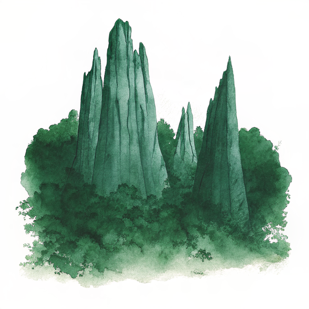
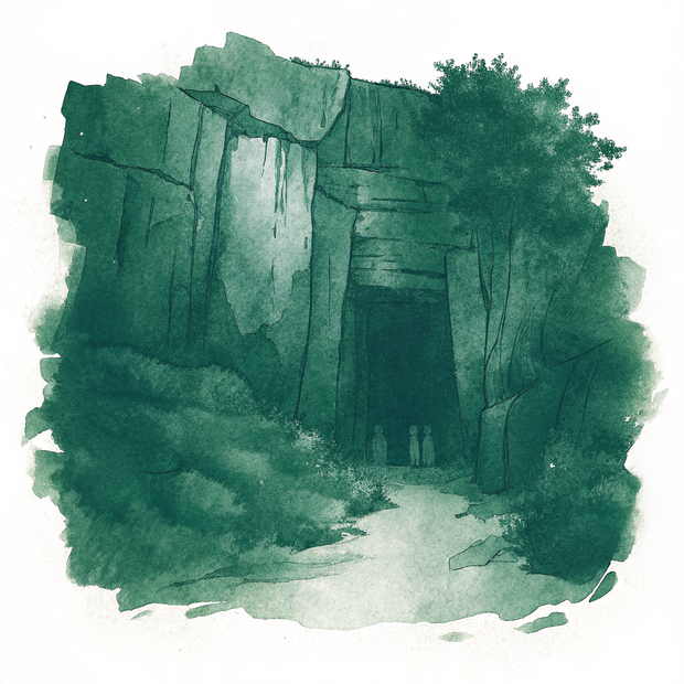
To help you build your own global archive, we've prepared this collection of watercolor studies from our research into Pinnacles National Park, California. These artifacts are designed to bring the stillness of this corner of the world into your home.

Original Series Decorative Magnet

A personal study of Pinnacles National Park, California, captured in high-fidelity watercolor and prepared for your collection.

Pinnacles National Park, California | Jagged Rock Spires Formation | Original Series Decorative Magnet
Add to Collection / $18
Exclusive Series Artifact

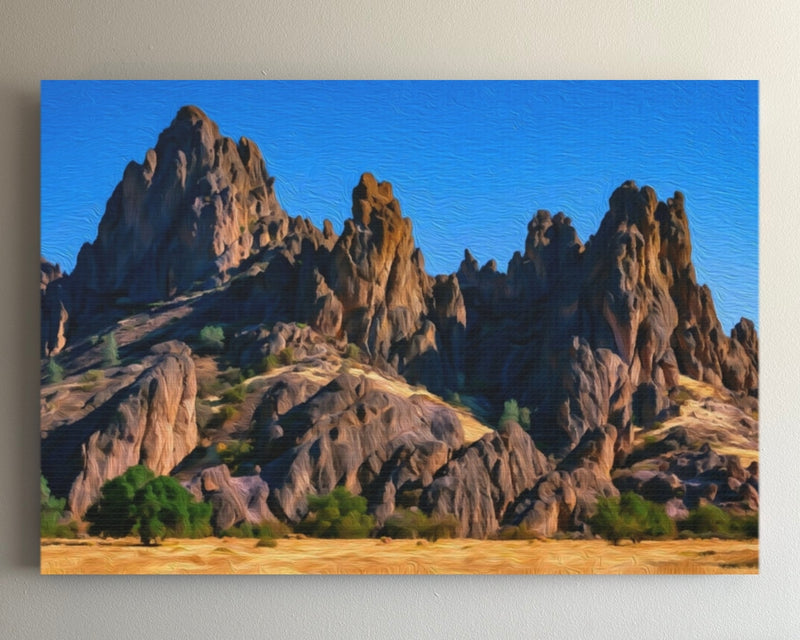
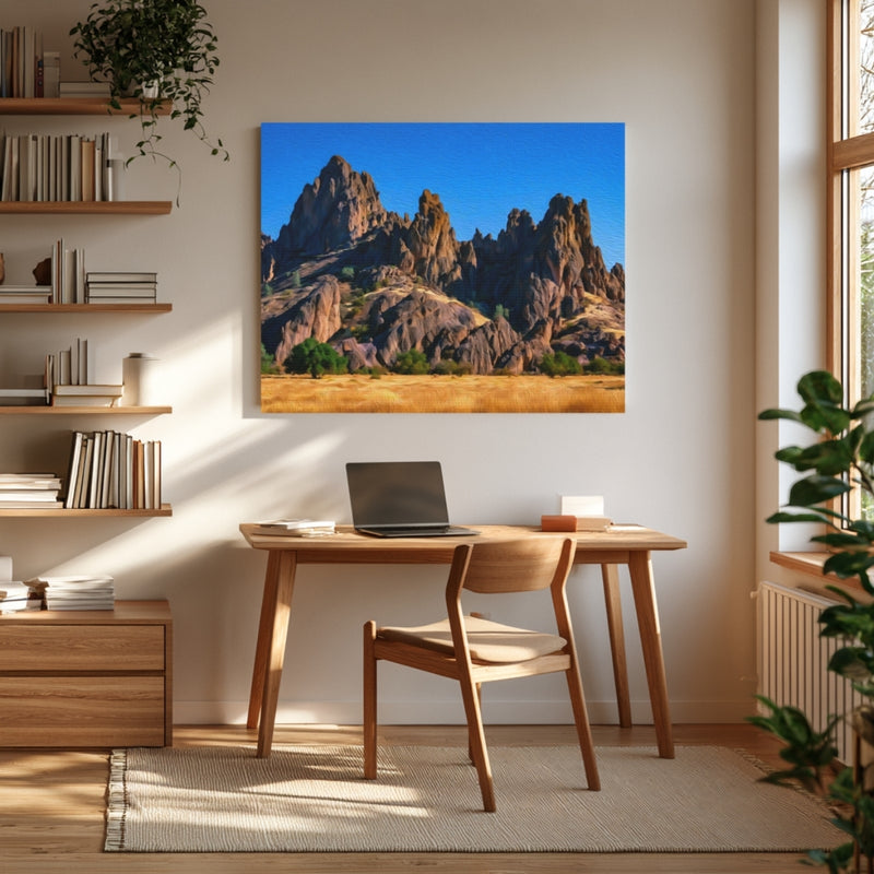
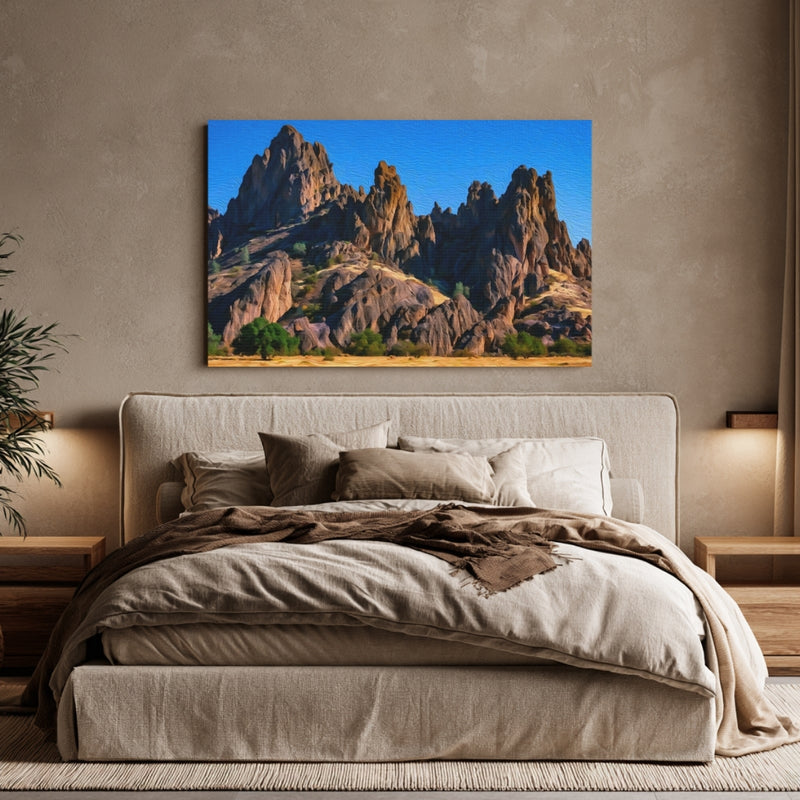
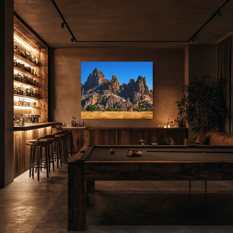
Original Series Gallery Canvas

This high-fidelity canvas is a beautiful way to anchor a room and keep your memories of Pinnacles National Park, California fresh long after you've returned home.

Pinnacles National Park, California | Jagged Rock Spires Formation | Original Series Gallery Canvas detail Pinnacles National Park, California | Jagged Rock Spires Formation | Original Series Gallery Canvas detail Pinnacles National Park, California | Jagged Rock Spires Formation | Original Series Gallery Canvas detail Pinnacles National Park, California | Jagged Rock Spires Formation | Original Series Gallery Canvas detail
Add to Collection / $65

Original Series Hardboard Coaster

A personal study of Pinnacles National Park, California, captured in high-fidelity watercolor and prepared for your collection.

Pinnacles National Park, California | Jagged Rock Spires Formation | Original Series Hardboard Coaster
Add to Collection / $18
Exclusive Series Artifact

The Spirit of the Land

Archival Note: A curated field study of Pinnacles National Park, California, prioritizing the specific atmospheric stillness of the region. These artifacts have been meticulously sourced from our global archival partners to represent the area's unique cultural frequency and environmental character. This selection serves as a formal observation for our ongoing global archive, vetted for its visual accuracy and archival merit.

Pinnacles National Park, California study No. 01
Pinnacles National Park, California / 01 VIA / Tom Fournier
The afternoon sun illuminates thousands of vertical rock spires in warm tones of rust and tan, creating dramatic shadows that emphasize their striking columnar shapes. Hardy shrubs and small trees persist among the ancient formations, dotting the landscape with patches of green that seem to defy the harsh, arid environment. The crisp clarity of the day makes every craggy detail visible, revealing the raw geological power of this volcanic landscape.
Pinnacles National Park, California study No. 02
Pinnacles National Park, California / 02 VIA / Petra Nesti
The afternoon light bathes the chaparral-covered landscape in warm, golden tones, creating sharp contrasts between the shadowed valleys and sun-exposed ridges. Standing here, one would feel the dry warmth of the Central Coast and the sense of vast, rugged solitude stretching across miles of undulating terrain. The clear visibility reveals layer upon layer of peaks receding into the distance, evoking the timeless quality of this volcanic wilderness.
Pinnacles National Park, California study No. 03
Pinnacles National Park, California / 03 VIA / Reto Wiezel
This image captures the dramatic geology of Pinnacles National Park, where fractured volcanic rock formations create towering spires framing Mount Teide in the distance. The reddish-brown coloring of the rocks contrasts beautifully against the deep blue sky, while the understated texture of the dry, scrubby vegetation in the foreground provides subtle depth to the composition. Few visitors notice the delicate lichen patterns that mottle the rock surfaces, adding complexity to what might otherwise appear as barren stone.

Where to wander

Archival Note: A curated field study of Pinnacles National Park, California, prioritizing cultural relevance and archival merit. These locations have been meticulously researched and vetted to ensure they represent the most authentic atmosphere for your own expedition.

Local Cuisine Spotlight
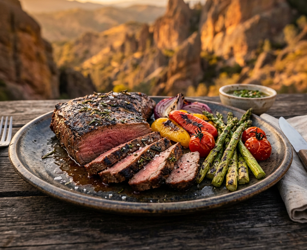
This herb-crusted steak arrives with a gorgeous caramelized crust giving way to a perfectly medium-rare interior, its warmth releasing aromatic thyme and rosemary into the mountain air. Accompanying charred vegetables including tender asparagus and roasted tomatoes complete the plate, while the dramatic Pinnacles landscape frames this unforgettable culinary moment.
Credits: THE PAINTED PASSPORT
Local cuisine study in Pinnacles National Park, California

☕︎ Local Flavor

Pinnacles Campground Store Grill

Rating: 4* | Price: $ | Coordinates: 36.4850° N, 121.1570° W

Right inside the park, this casual grill serves up satisfying burgers, hot dogs, and snacks that taste especially wonderful after a strenuous hike through the talus caves. The convenience alone makes it a beloved spot for campers and day visitors who do not want to drive far for a meal. It is simple, hearty food served with a genuine friendliness that fits the outdoor spirit of the park perfectly.

View Entry Details

Vets Hall Brewery King City

Rating: 4* | Price: $$ | Coordinates: 36.2127° N, 121.1263° W

About 30 minutes south of Pinnacles, this beloved local brewery pours craft beers alongside a crowd-pleasing menu of burgers, tacos, and shareable plates. The atmosphere is lively and communal, drawing in everyone from ranchers to road-trippers, which gives it an authentic Central California character. It is the kind of place where you settle in for one beer and cheerfully end up staying for three.

View Entry Details

Jardines de San Juan

Rating: 5* | Price: $$ | Coordinates: 36.8441° N, 121.5380° W

In the charming historic town of San Juan Bautista, this colorful and celebrated Mexican restaurant has been feeding happy guests for decades with deeply flavorful enchiladas, tamales, and handcrafted margaritas. The festive garden patio buzzes with energy and makes dining here feel like a small celebration in itself. It is a true regional institution that deserves a spot on every Pinnacles road trip itinerary.

View Entry Details

Sill's Cafe Soledad

Rating: 4* | Price: $ | Coordinates: 36.4249° N, 121.3261° W

This unpretentious local diner in Soledad has served generous breakfasts and lunches to farmworkers and travelers for years, earning a loyal following with its honest cooking and friendly service. The huevos rancheros and fresh tortillas are a particularly popular way to fuel up before a full day at the park. Everything about Sill's feels warm, genuine, and rooted in the agricultural soul of the Salinas Valley.

View Entry Details

🛌︎ Boutique Stays

Pinnacles Campground

Rating: 4* | Price: $$ | Coordinates: 36.4850° N, 121.1570° W

The only campground inside the park offers a truly immersive experience under star-filled skies. Sites accommodate tents and RVs, and the on-site store makes it easy to grab supplies after a long day on the trails. Waking up surrounded by the towering volcanic spires feels like a privilege few travelers get to enjoy.

View Entry Details

Monarch Inn Soledad

Rating: 4* | Price: $$ | Coordinates: 36.4249° N, 121.3261° W

Just a short drive from the east entrance, this comfortable inn gives visitors a relaxing home base after adventurous days in the park. Rooms are clean and welcoming, and the staff frequently offer helpful local tips about trail conditions and hidden viewpoints. It is a practical and affordable choice for families and solo hikers alike.

View Entry Details

Paraiso Hot Springs Resort

Rating: 4* | Price: $$$ | Coordinates: 36.3102° N, 121.3557° W

This historic hot springs resort nestled in the Salinas Valley hills is a soothing reward for tired muscles after exploring Pinnacles. Natural thermal pools and shaded cottages create a serene retreat that feels completely removed from the bustle of everyday life. The surrounding scenery of oak woodlands and rolling hills adds to its deeply restorative atmosphere.

View Entry Details

Hollister Inn

Rating: 3* | Price: $ | Coordinates: 36.8524° N, 121.4016° W

Budget-conscious travelers heading to the west entrance of Pinnacles will find this modest inn in nearby Hollister a convenient and wallet-friendly option. The no-frills rooms are tidy and the location puts you within easy reach of both the park and local eateries. It is a straightforward, unpretentious stay that lets you focus your energy on the adventures ahead.

View Entry Details

📍︎ Field Study

Bear Gulch Cave

Rating: 5* | Price: $ | Coordinates: 36.4912° N, 121.1845° W

Navigating this remarkable talus cave formed by massive boulders is one of the most thrilling experiences Pinnacles has to offer, rewarding visitors with cool darkness, narrow passages, and a sense of genuine exploration. A headlamp is essential and the experience of emerging into bright sunlight above the reservoir is genuinely memorable. Seasonal closures protect roosting bats, so checking the schedule before your visit ensures you will not be disappointed.

View Entry Details

High Peaks Trail

Rating: 5* | Price: $ | Coordinates: 36.5012° N, 121.1987° W

This iconic ridge trail winds through the dramatic volcanic spires that give the park its name, offering sweeping panoramic views of the surrounding valley that stretch for miles on a clear day. The steep hand-and-foot sections carved into the rock face add a thrilling scrambling element that makes the journey as exciting as the destination. Spring wildflower season transforms the hillsides into vivid tapestries of color that make every step feel like walking through a painting.

View Entry Details

Balconies Cave and Cliffs Trail

Rating: 5* | Price: $ | Coordinates: 36.4921° N, 121.2456° W

Accessed from the west entrance, this beloved loop combines the eerie wonder of the Balconies talus cave with open views of the striking cliff formations rising dramatically above the chaparral. The cave section requires a flashlight and a spirit of adventure, as you weave through tight boulder passages with water trickling beneath your feet. Condors and prairie falcons frequently soar overhead on the open sections, giving wildlife watchers a genuine thrill.

View Entry Details

Pinnacles Visitor Center

Rating: 4* | Price: $ | Coordinates: 36.4915° N, 121.1568° W

Starting your visit here gives you a rich understanding of the park's volcanic origins, its incredible California condor recovery program, and the best trail options for your fitness level and available time. The rangers are exceptionally knowledgeable and genuinely enthusiastic about sharing the park's history and natural wonders with every visitor. Detailed maps, interactive exhibits, and regular ranger programs make this a truly worthwhile first stop before heading out to explore.

View Entry Details

Typography

Archival Note: A formal technical study of Pinnacles National Park, California, archiving the coordinates, elevation, and environmental data that define the region. This data serves as a vital record for our ongoing global field study, providing the technical foundation behind every atmospheric detail captured in our visual work.

Botanical and pigment specimen study for Pinnacles National Park, California Colors of Pinnacles National Park, California
Coordinates
36.4906° N, 121.1825° W — Pinnacles National Park, Paicines, San Benito County, California, United States
Historical Epoch
Proclaimed a national monument by Theodore Roosevelt in 1908, Pinnacles became a full national park in 2013. The volcanic rock itself originated near present-day Los Angeles some 23 million years ago and slowly migrated north along the San Andreas Fault.
Elevation
335-1,304 m / 1,099-4,278 ft. The park spans from low chaparral valleys to the dramatic High Peaks ridge, with most visitor trails sitting between 500 and 900 m.
Atmosphere
Csa, Hot-Summer Mediterranean. Dry, sunny summers with temperatures regularly above 35C, and mild wet winters between November and March. Spring offers the most comfortable hiking conditions.
Observation Hour
06:30. The low-angle morning sun sets the volcanic spires alight with copper and amber tones. Shadows are long, contrast is dramatic, and condors begin riding early thermals by mid-morning.
Primary Pigment
Burnt Sienna (#8B3A2A) and Dusty Sage (#7D9171)
Best Time to Visit
March through May. Wildflowers bloom across the chaparral, temperatures are mild for hiking, and condor activity is high above the peaks.
Avoid Visiting
July through August. Extreme heat regularly exceeds 38C on exposed trails, making extended hiking genuinely dangerous during midday hours.

The Local Tongue

Language is the invisible architecture of Pinnacles National Park, California. These entries document the regional vocabulary—capturing the "texture" of local speech that standard translations often miss. Hand-curated expressions reflecting the specific spirit and daily rhythm of the region.
Archival study of English cultural texture

via / Strange Happenings

Primary Language English
Regional Dialect California American English, with some Spanish influence in local place names and surrounding community speech.

Chaparral

Chaparral refers to the dense, drought-adapted shrubland of California that blankets the lower slopes of Pinnacles with chamise, scrub oak, and manzanita. Hikers feel it before they see it: a dry herbal scent released by the sun-warmed brush that is as much a part of the park as the rock itself.

Condor

Condor, borrowed into English from the Quechua 'kuntur,' names the largest flying land bird in North America and the living symbol of Pinnacles' conservation story. Visitors who spot one riding a thermal above the High Peaks often describe the moment as unexpectedly emotional, the enormous silhouette a reminder of how close this species came to disappearing entirely.

Talus

Talus describes the jumbled piles of collapsed boulders that form the park's famous caves, dark passages where the temperature drops sharply and the sound of dripping water echoes in the rock. Moving through a talus cave at Pinnacles requires both hands and patience, a slow, tactile experience that pulls travelers away from the open sky and into the hidden architecture of the earth beneath.

Wait! before you go...

Before you head over to Pinnacles National Park, California, we’ve audited the essential data points for this corner of the world. These notes cover the logistics—from currency ratios to transit hubs—to help you navigate the landscape with clarity.
🚲 Getting Around Pinnacles has no through road connecting its east and west sides, so most visitors arrive by private car. The east entrance near Paicines off Highway 25 provides access to the campground and visitor center, while the west entrance is reached from Soledad off Highway 101.
⚖️ Cash or Card Within the park, the campground store accepts cards, but cash is useful for smaller purchases and roadside farm stands along surrounding rural highways. The nearest ATMs and full banking services are found in Hollister, Soledad, or King City, each roughly 30 to 45 minutes from the park.
☁️ Good to Know Pinnacles is busiest on spring weekends when wildflowers bloom and temperatures are ideal, and arriving before 8am is the single most effective way to secure parking and trailhead access. The park closes cave access seasonally to protect roosting bats and nesting condors, so checking the National Park Service website before visiting saves disappointment.
🏧 ATMs There are no ATMs inside Pinnacles National Park itself, so travelers should withdraw cash before arriving. The nearest reliably accessible ATMs are located in Hollister to the north and Soledad to the west, both accessible in under an hour by car.
💳 Currency The United States Dollar (USD) is the sole currency used throughout the park and surrounding communities. The park entrance fee can be paid by card at the entrance station, and the America the Beautiful annual pass is accepted and widely worthwhile for frequent national park visitors.
🔌 Plugs Standard US Type A and Type B outlets at 120V, 60Hz. The campground has limited electrical hookups at certain sites, and a portable power bank is practical for backcountry-adjacent camping.
🛡️ Safety Summer temperatures in the park regularly exceed 38C and heat-related illness is a genuine risk on exposed trail sections with little shade. Hikers should carry at least two liters of water per person, start early, and know that cell service is unreliable throughout most of the park.
✈️ Airports The closest major airport is San Jose Mineta International (SJC), approximately two hours north of the park by car. San Francisco International (SFO) and Monterey Regional Airport (MRY) are also reasonable options, with Monterey offering a scenic coastal drive approach to the west entrance.

Behind The Scenes

Nathan

Note from the Founder

Hey, did you know this fun fact about Pinnacles National Park, California? Pinnacles National Park protects the only known nesting habitat of the California condor in the central California coast range. The park's rock formations are volcanic in origin and have traveled over 300 km north along the San Andreas Fault over 23 million years.
Thank you for exploring the Pinnacles National Park, California series with us. We hope these notes have inspired you to add this incredible destination to your own passport—we are so glad you're here. Nathan's signature

Some of our Favorites