Local Cuisine Spotlight



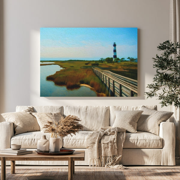
Now representing Outer Banks — 1 original piece, each hand-crafted in watercolor.
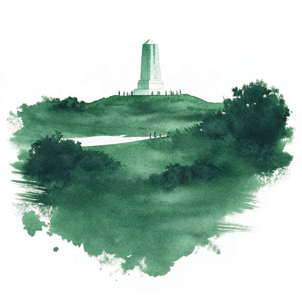
The Outer Banks is a thin ribbon of barrier islands strung along the North Carolina coast, perpetually caught between the warm pull of the Gulf Stream and the raw energy of open ocean. This is a place shaped by wind and salt and legend, where Spanish mustangs still roam the northern dunes at Corolla, where the Wright Brothers coaxed the first powered flight into a cold December sky at Kill Devil Hills, and where the Cape Hatteras Lighthouse has stood sentinel over what sailors once called the Graveyard of the Atlantic. The light here shifts with the tides, golden and hazy in the mornings, deepening to copper and indigo at dusk as pelicans glide low over the sound. History does not sit behind glass in the Outer Banks; it lives in the salt-bleached wood of old fish houses, in the names of villages like Manteo and Nags Head, and in the restless movement of the barrier islands themselves.
Every canvas is painted from a real place. Explore the map to see exactly where each scene lives — and wander Outer Banks the way a traveler would, one landmark at a time.
Keep Exploring
Archival Note: A curated field study of Outer Banks, North Carolina, prioritizing the specific atmospheric stillness of the region. These artifacts have been meticulously sourced from our global archival partners to represent the area's unique cultural frequency and environmental character. This selection serves as a formal observation for our ongoing global archive, vetted for its visual accuracy and archival merit.


Archival Note: A curated field study of Outer Banks, North Carolina, prioritizing cultural relevance and archival merit. These locations have been meticulously researched and vetted to ensure they represent the most authentic atmosphere for your own expedition.
Archival Note: A formal technical study of Outer Banks, North Carolina, archiving the coordinates, elevation, and environmental data that define the region. This data serves as a vital record for our ongoing global field study, providing the technical foundation behind every atmospheric detail captured in our visual work.
 Colors of Outer Banks, North Carolina

via / Attie Heunis


