Local Cuisine Spotlight

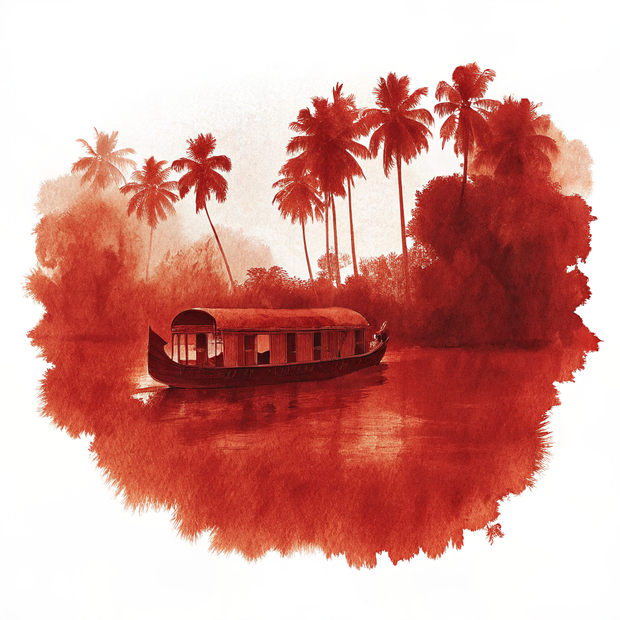
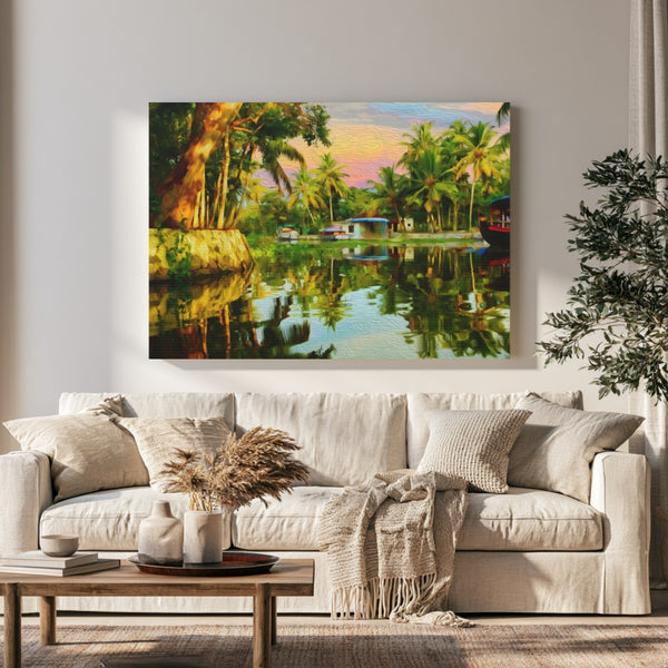
Now representing Kerala Backwaters — 1 original piece, each hand-crafted in watercolor.
The Kerala Backwaters stretch across nearly 900 kilometres of interconnected canals, lakes, lagoons, and rivers along the Malabar Coast, a living geography shaped by centuries of spice trade, monsoon rhythms, and quiet village life. This is a place where Chinese fishing nets hang like ink-brush strokes against the evening sky, where toddy shops lean over jade-coloured canals, and where the pace of life is measured in the slow drift of a kettuvallam houseboat rather than the tick of a clock. The region anchors itself around Vembanad Lake, Kerala's largest, and spreads south through Kuttanad, a place where rice paddies sit below sea level and farmers work land reclaimed from the water itself. Every traveller who arrives by boat rather than road finds the same thing: a version of India that breathes more slowly.
Every canvas is painted from a real place. Explore the map to see exactly where each scene lives — and wander Kerala Backwaters the way a traveler would, one landmark at a time.
Keep Exploring
Archival Note: A curated field study of Kerala Backwaters, India, prioritizing the specific atmospheric stillness of the region. These artifacts have been meticulously sourced from our global archival partners to represent the area's unique cultural frequency and environmental character. This selection serves as a formal observation for our ongoing global archive, vetted for its visual accuracy and archival merit.


Archival Note: A curated field study of Kerala Backwaters, India, prioritizing cultural relevance and archival merit. These locations have been meticulously researched and vetted to ensure they represent the most authentic atmosphere for your own expedition.
Archival Note: A formal technical study of Kerala Backwaters, India, archiving the coordinates, elevation, and environmental data that define the region. This data serves as a vital record for our ongoing global field study, providing the technical foundation behind every atmospheric detail captured in our visual work.
 Colors of Kerala Backwaters, India

via / Frank van Dijk


