Ha Giang Loop, Vietnam | 'Where the Road Becomes the Destination'
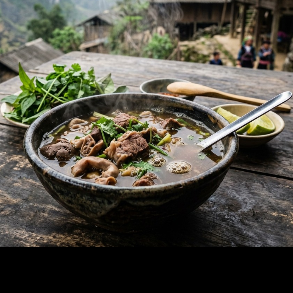
Ha Giang is Vietnam's last great frontier, a province pressed against the Chinese border where limestone karst towers rise like ancient sentinels above terraced rice fields and buckwheat meadows. The light here does something extraordinary: it filters through low mountain cloud in the early hours, casting everything in a diffuse, silver-gold glow before the midday sun burns the valleys sharp and clear. This is the homeland of the H'mong, Dao, and Tay peoples, communities whose embroidered textiles, indigo-dyed fabrics, and highland market rituals have remained largely unchanged for centuries. The loop road itself is a 350-kilometre circuit of switchbacks and cliff-edge passes that rewards every patient traveller with views that feel genuinely unreachable anywhere else on earth.
The watercolor palette of Ha Giang pulls from the earth and sky in equal measure: the deep slate blue of H'mong indigo cloth, the warm amber of ripening buckwheat in October, and the vivid jade of the Nho Que River winding through the canyon below Ma Pi Leng Pass. Mist softens every hard edge in the mornings, lending the limestone peaks a pale lavender wash, while the terraced hillsides glow in layered tones of ochre, sage, and burnt sienna depending on the season.